Handy app for recording tracks in areas with internet coverage.
Platform
Geo Tracker is available on Android.
Main Features
The main features of Geo Tracker are:
- Reliably record trails in GPX files, store them and export
- Provide rich statistics view of the recorded trail
- Optionally view maps in "navigation mode", map is rotated to match your course direction
- Mark waypoints along the way (stored in GPX)
- Efficient battery usage
- Doesn't require an internet connection to record tracks
This app focuses on reliably recording trails, so it doesn't contain features that may be bundled with some other tracking apps, such as:
- It doesn't support preloading maps, although it is possible to use cached maps
- Following a preloaded GPX track is not available
Using the App
App Overview
This app allows you to record GPX tracks while you're hiking. Maps are provided by Google, Huawei and Mapbox. The first two are free, while the latter requires a small subscription. The app is visually pleasing, including the maps.
To start the recording just click the start button, a new track will start to record and the arrow will show your location on the map. By default the top of the map will represent the north, but you can turn on "navigation mode" in the settings so that the map is rotated to match your course direction.
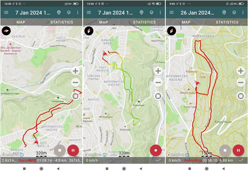
The main app screen consists of the Maps and Statistics tabs, so switching between them is easy.
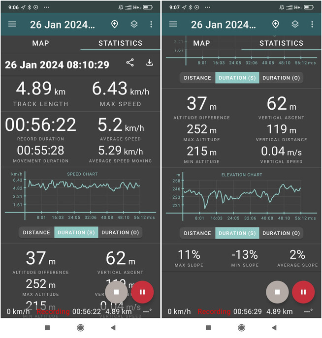
Stats are one of the most detailed I've seen so far - they contain everything I would have wanted to see, including nice speed and elevation charts, max and average slope, vertical ascent and the other usual details:
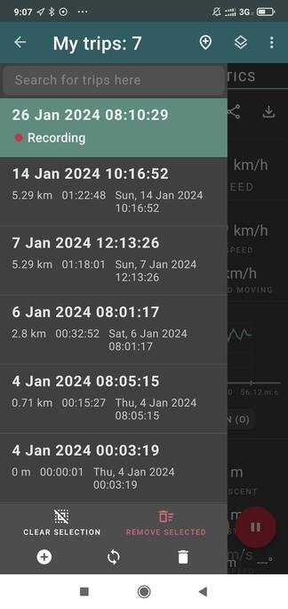
You can access all of your recorded tracks by hitting the top left breadcrumb menu:
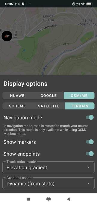
On the settings screen you can select the map provider (Google, Huawei, Mapbox) and type (scheme, satellite, terrain), the navigation mode and also the color mode of the recorded track (solid, speed gradient, elevation gradient) which is kind of cool to play with.
Reliability of Location Tracking
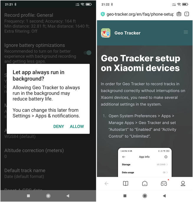
In order to try to ensure that the GPS location is recorded at all times the app presents a few screens on first launch with steps to set the critical permissions for the app.
First set of settings are related to ensuring the app remains active as long as possible, and taking me to a page with instructions for my phone brand:
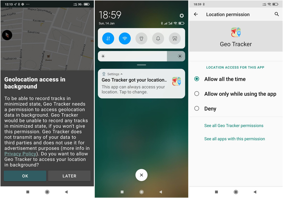
The second set of settings try to ensure your location is tracked at all times, so that you don't get surprise empty spots or straight lines in your recorded GPX track.
Initially I didn't allow the app to track my location while the app is not running and the app failed to record at all times. I then allowed the location to be gathered by the app at all times, even when not running, and while this did improve the reliability one recording did fail on me, note the gray straight line in the recorded path:
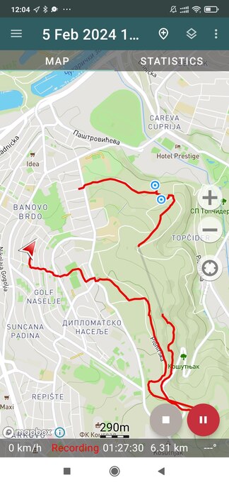
This was quite annoying... Perhaps there's a way to tweak the OS settings to make it work, but I really just want something reliable without having to mess around and try out different settings just to find that my recordings are broken.
Preloading Maps for Offline Usage
Unfortunately the app has no functionality like "save region" which would allow you to save a whole region for usage while you've no internet connection. However, if you already know the area you'll be hiking in - you can browse to that area in the app while you have an internet connection, zooming and panning the map a bit - this will save the map data into the local cache - so these areas will probably be available offline while hiking (although there are no guarantees about that). This caching works better with Mapbox and not so well with Google maps.
Complaints
-
Regardless of the visible efforts of the author, track recording is not 100% reliable
-
The app requires access to location at all times, even when the app is not used. I understand that this may be the only way to access the GPS data if the app is closed by Android, but still, it doesn't sound OK
-
The interface is not as intuitive as in some other apps
-
It's not possible to preload offline maps. It is however possible to cache maps, as described in the section above
Rating
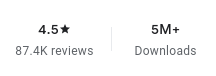
As of January 2024, the app has been downloaded 5M+ times on Google Play, and has a rating of 4.5 out of 87K reviews.
Pricing
The basic features are free. This covers offline tracking, Google and Huawei maps, satellite images and recording profiles. Offline (cached) Open Street Maps (OSM) are available via Mapbox with a small monthly subscription of around 0.5 USD.
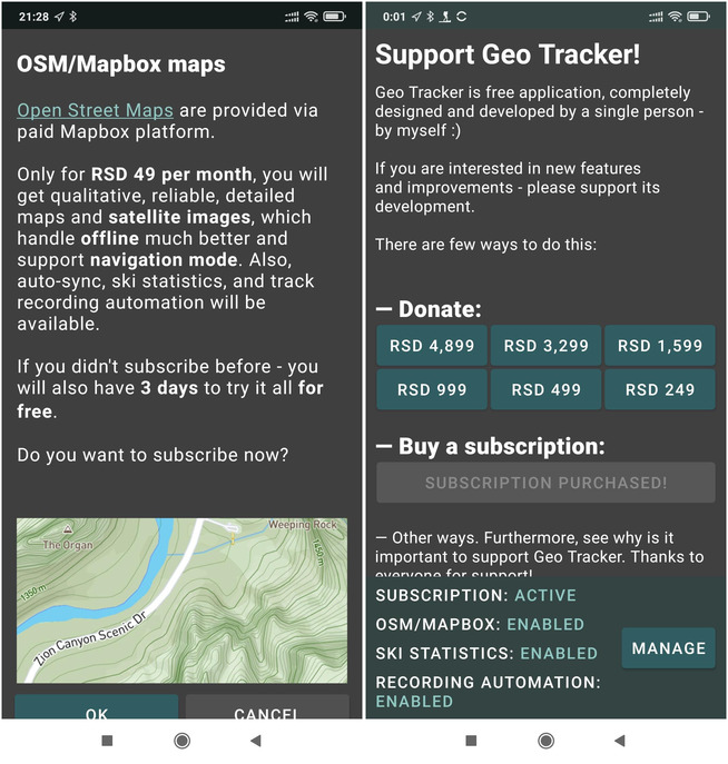
Note: 1 USD is approximately 100 RSD
Comments
Powered by FastComments